|
Free SE Submission
Free Womens Mag Free HTML Editor Free Search Toolbar Keyword Research SEO Toolkit Competitive Intel |
  
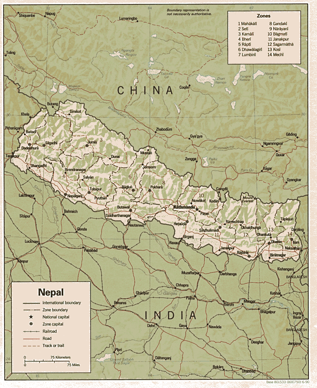
Shaded map(1990), also featuring major cities.
Clickable map of the pilgrimage place in Annapurna.
Contains a political map of the country and images of tourist spots and major peaks.
Virtual reality 360 degree panorama from the top of Mount Everest.
Country, city and thematic maps from the Perry-Castañeda Library Map Collection, along with links to maps on other web sites.
Regional / Asia / Maps_and_Views |
|