|
Free SE Submission
Free Womens Mag Free HTML Editor Free Search Toolbar Keyword Research SEO Toolkit Competitive Intel |
  
Continent, countries, facts and figures.
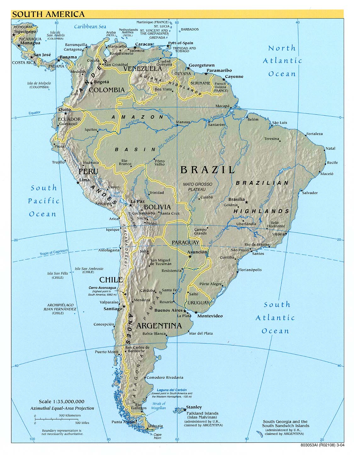
Reference map, 2004 (506K) from the Perry-Castañeda Library Map Collection at the University of Texas.
Large topographical reference map.
A map of South America, showing its general divisions, chief cities, towns, rivers, mountains, dedicated to His Highness William Duke of Gloucester.
Interactive map of South American borders, countries, capitals and surroundings.
Maps created by The USA Central Intelligence Agency.
Educational program to learn the countries of South America and their capitals.
Recreation / Travel / Image_Galleries |
|